Accurate Visual Representations
Ocean AVR produces Accurate Visual Representations in Devon for planning consultants, architects and developers who need technically rigorous visual evidence for planning applications. Based in Braunton, Devon and working nationwide, we combine precise site photography, geographic data and 3D modelling to show proposed developments accurately within their real-world surroundings.
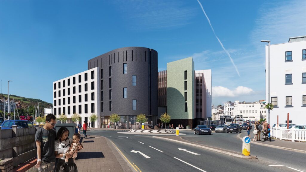
An Accurate Visual Representation is a technically controlled image showing the position, scale and appearance of a proposed development from a defined viewpoint.
AVR and Verified View are commonly used as different names for the same underlying planning visualisation process. The term AVR can also describe the level of visual detail applied to a Verified View. Unlike a marketing CGI, the objective is not to make a development look more attractive. It is to provide transparent visual evidence that can be assessed as part of the planning process.
You can also read about our Verified Views service and related planning photomontages.
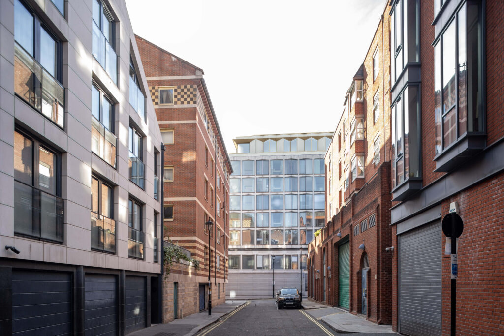
The appropriate AVR level depends on what the planning team needs the image to communicate.
AVR Level 0: Indicates the location and extent of the proposed development.
AVR Level 1: Shows the proposal as an accurate three-dimensional form, allowing its scale, massing and visibility to be assessed.
AVR Level 2: Adds architectural detail and more clearly defined surfaces to communicate the development’s form.
AVR Level 3: Provides a fully rendered representation incorporating proposed materials, colours and finishes.
The required level should be agreed in the context of the project and purpose of each viewpoint. We can discuss the intended planning use before photography and production begin.
Accuracy starts on site rather than at the rendering stage. We record controlled photography and viewpoint information before integrating the proposed scheme into its surveyed context.
Required viewpoints are agreed before site work. Photography and camera information are carefully controlled so that each viewpoint can be accurately recreated during production.
Geographic coordinates, elevation information and relevant project data are used alongside the proposed development model. This enables the virtual camera and development to be aligned accurately with the photograph.
The appropriate AVR level is produced and the resulting visualisation checked for alignment and consistency. Where required, supporting information can be prepared to explain the methodology used.
Ocean AVR works in accordance with Landscape Institute Technical Guidance Note 06/19 (TGN 06/19) for visual representation work.
AVRs can form important visual evidence for Landscape and Townscape Visual Impact Assessments and other planning submissions where the effect of a development needs to be understood from representative viewpoints.
We support projects including residential and commercial developments, renewable energy schemes, infrastructure, healthcare, education and mixed-use proposals. Our role is specifically visualisation and visual assessment support, working alongside the planning, landscape, architectural and development professionals responsible for the wider submission.
Ocean AVR has worked in architectural and planning visualisation since 2003, providing more than 20 years of practical experience.
Clients benefit from:
Specialist focus on Verified Views, AVRs and planning visualisations
Experience working with TGN 06/19 methodology
£5 million Professional Indemnity Insurance
Direct, personal project communication
Nationwide UK project capability
Experience supporting planning consultants, architects and developers
See more about Ocean AVR and our approach or explore completed projects.
Ocean AVR is based in Braunton, Devon and Bristol. We undertake planning visualisation projects nationwide, with Devon, Cornwall and Somerset forming important areas of our South West coverage.
The methodology requires accurate site photography and viewpoint location data. This is all performed in-house to ensure consistent speed and accuracy.
Yes, in practical planning visualisation terms, Accurate Visual Representation and Verified View are commonly used for the same technically controlled type of image. AVR terminology is also used to identify different levels of representation, from indicating a proposal’s location and extent through to a fully rendered view.
It depends on the purpose of the visualisation and the information that needs to be communicated. Some viewpoints only need to establish location, scale or visibility, while others require detailed materials and finishes. We can review the project requirements before recommending an appropriate approach.
Requirements vary by project, but accurate design information for the proposed development and agreed viewpoints are fundamental. We establish the photography, positioning and other technical information required as part of the project brief.
Yes. AVRs are specifically used to provide accurate visual evidence within planning applications and associated visual assessments. They allow planning professionals and decision-makers to understand how a proposal will appear from defined real-world viewpoints.
Yes. Ocean AVR works nationwide across the UK. Our AVR consultants are based in Braunton, North Devon, and Bristol with Devon, Cornwall and Somerset among our priority South West service areas.
If your planning application requires technically accurate visual evidence, speak directly with Ocean AVR about the proposed development, viewpoints and required AVR detail. We combine specialist planning visualisation experience with a personal service and a methodology focused on accuracy, transparency and planning compliance.